Comprehensive Utility Locating and Damage Prevention Services Nationwide
Trust USG for accurate locating, mapping, and risk-mitigation solutions that keep your projects on schedule, on budget, and free from costly underground utility strikes.

From USG 811 contract locating and private utility detection to GIS-integrated mapping, Subsurface Utility Engineering, and enterprise risk management, USG delivers precise data, proven safety processes, and nationwide crews that safeguard every phase of infrastructure development.

USG 811 Contract Utility Locating Services
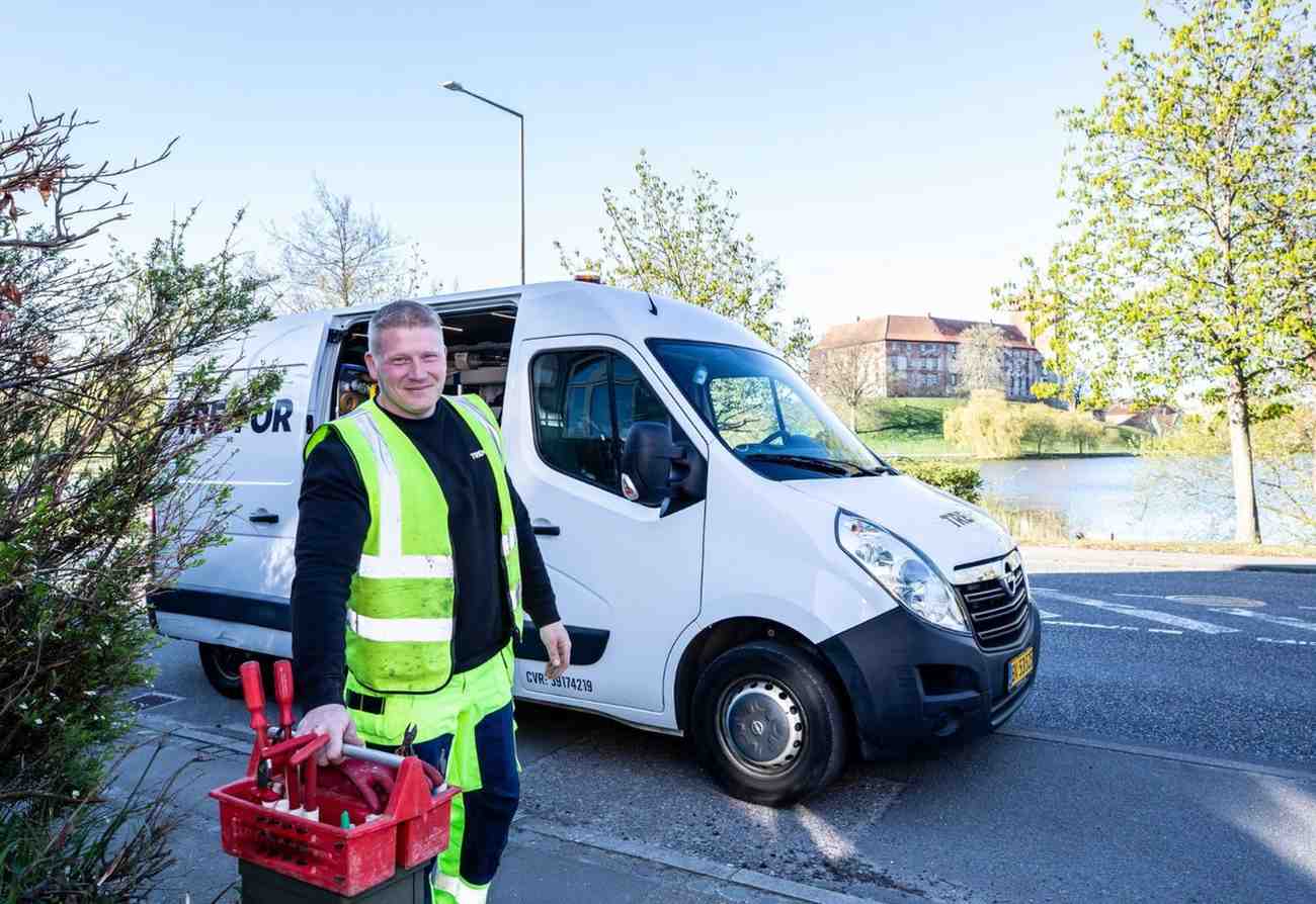
Before any excavation begins, our certified technicians pinpoint and mark public utility lines with industry-leading accuracy. Leveraging electromagnetic induction, GPS, and advanced ticket management software, we respond quickly to 811 notifications, coordinate with facility owners, and document every locate. This proactive approach minimizes downtime, avoids regulatory penalties, and keeps workers and communities safe. With decades of field experience and a zero-defect philosophy, USG consistently exceeds state requirements and client expectations on projects of every size.
Private Utility Locating Experts Team
We uncover buried electric, water, or telecom lines on private property with precision everywhere.

Subsurface Utility Engineering Services
Comprehensive utility data for confident design decisions.
Precision Utility Mapping Solutions
Visualize underground assets in accurate GIS models.
Utility Risk Management Consulting
Reduce exposure, liability, and unexpected project delays.

Utility Quality Assurance Control
Ensure every locate meets strict performance benchmarks.
Large Project Support Services Team
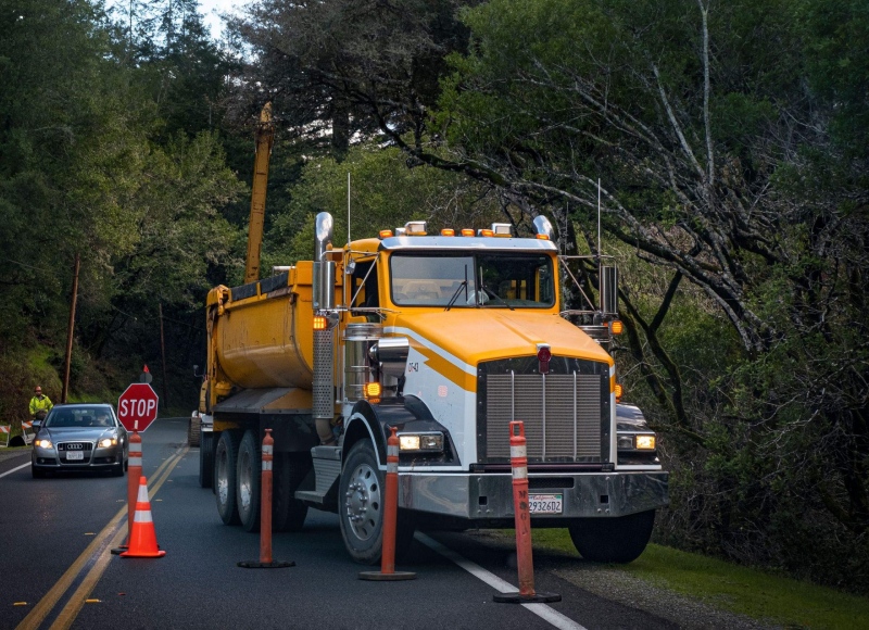
For capital programs spanning counties, USG deploys scalable teams that integrate seamlessly with engineers, contractors, and owner representatives. We establish project-specific processes, onsite supervision, and real-time reporting dashboards to track thousands of daily locates, tickets, and clearances. Our experts manage utility coordination meetings, maintain QA/QC, and adjust staffing as schedules shift, protecting budgets and critical paths. From major highway expansions to multi-gig fiber builds, we deliver consistent safety, quality, and communication across every project phase.
GIS & GNSS Integration
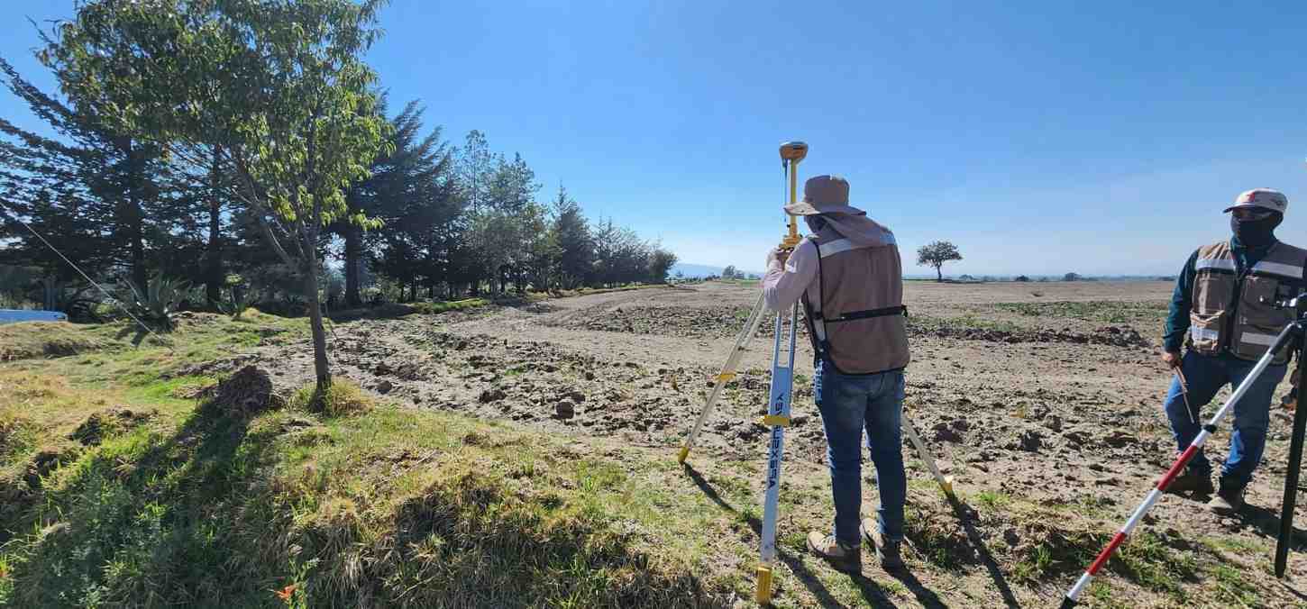
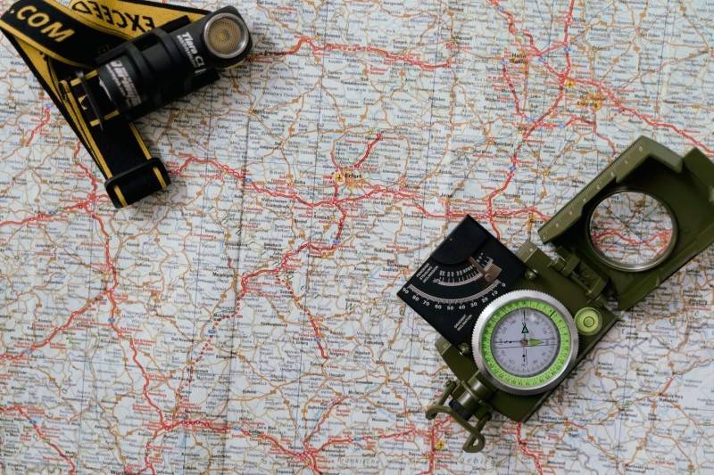
Transform field data into actionable intelligence with our GIS and high-precision GNSS workflows. We capture x,y,z coordinates at sub-inch tolerances, attribute every feature, and sync updates to secure cloud databases in real time. Designers, asset managers, and emergency responders gain instant visibility of buried infrastructure, reducing future locate costs and outage durations. Our team configures schemas, performs data QA, and delivers files compatible with Esri, Bentley, and utility-specific platforms, ensuring seamless enterprise adoption.

Ready to Safeguard Your Next Infrastructure Project with Proven Experts Today?
Protect utilities, save money.
Address
333 South Garland Ave, Orlando,
FL 32801, 13th floor
USA